Loading your dashboard…
Your workspace
Welcome back
Pull planning overlays or export GIS data for any QLD, NSW, VIC, SA, TAS or ACT address, or run a geotechnical report for a QLD, NSW, VIC or SA address.
 Geotechnical Reports
–
Geotechnical Reports
–
Geotechnical Reports
A full desktop study PDF - geology, soils, groundwater, bores, acid sulfate and more - for any address.
 GIS Export
–
GIS Export
–
GIS Data Export
Export current cadastre, terrain, geology, soils, planning, hazard, heritage, easement and available imagery data in supported GIS and CAD outputs.
 Property Report
–
Property Report
–
Property Report
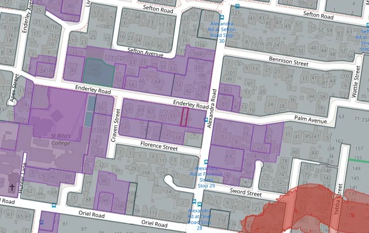
Zoning, flood, bushfire and heritage overlays rendered into a clean planning PDF report for the site, with a free interactive map preview.