Sample report
See exactly what you get
Browse every page of a real report before you buy. The sample below was generated for a Brisbane property - the same output you'll receive for any QLD, NSW, VIC or SA address.
Click any page to enlarge
Want the sample in your inbox?
We'll email you the sample so you can read it later or forward it to a colleague. No spam, no account needed.
Report contents
What's in every report
Each report compiles data from government spatial databases, DEM elevation models, and borehole registries into a single client-ready PDF.
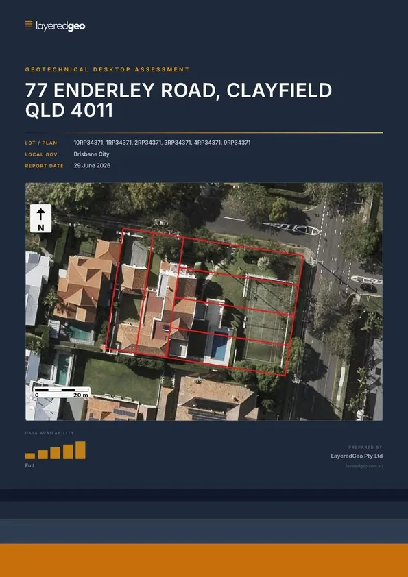
Cover & site summary
Aerial imagery, lot/plan, council, planning zone, report date
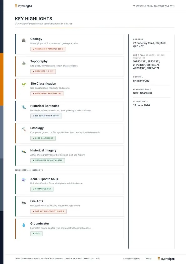
Key highlights
All findings at a glance: geology, soils, bores, constraints
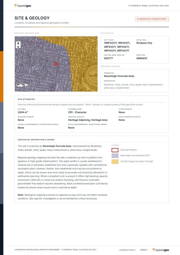
Geology
Geological formation, mapped units, overlays, heritage flags
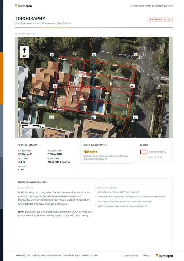
Topography
Slope, elevation, drainage context, contour overlay map
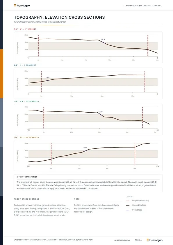
Elevation cross-sections
Four directional transects across the parcel from DEM data
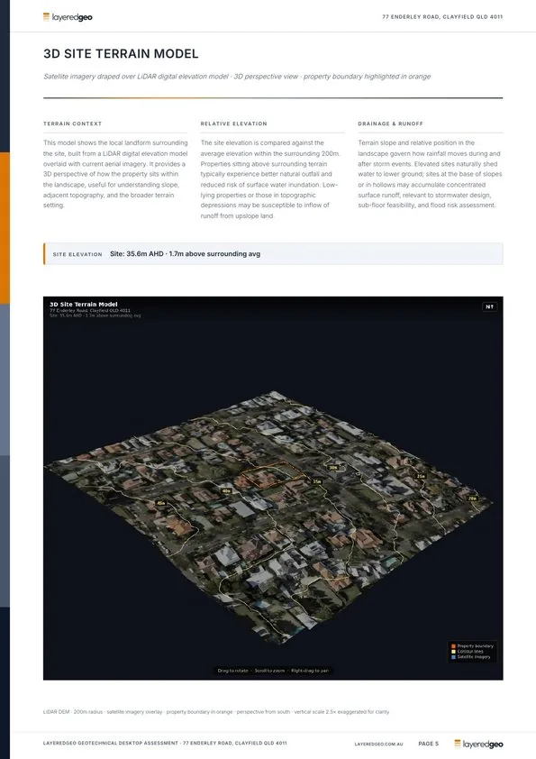
3D terrain model
Perspective view of surrounding topography and site elevation
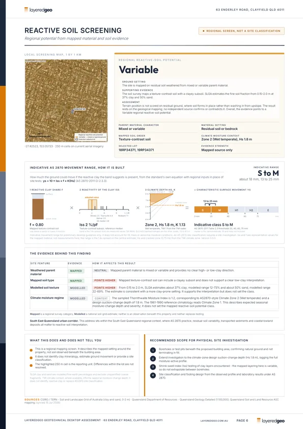
Reactive soil screening
Regional reactive-soil potential, the evidence behind it, and an indicative AS 2870 movement range
Soils & ASC
Australian Soil Classification order and acid sulphate risk zone
Historical boreholes
Nearby bore locations, depth, lithology, water table data
Groundwater
Estimated depth to groundwater, aquifer context, implications
Historical imagery
Oldest available aerial showing prior land use at the site
Fire ant zone (QLD)
Biosecurity zone, movement restriction status for QLD sites
Contaminated land (NSW, VIC)
EPA notified sites, priority sites and landfills within 250 m of the property