QLD & NSW · DXF · Shapefile · GeoPackage · KMZ
QLD & NSW site data,
ready to export
Enter any Queensland or NSW address and download GIS and CAD-ready site data in minutes. Get property boundaries, contours, geology, soils, watercourses, roads, elevation outputs, and georeferenced aerial imagery in DXF, Shapefile, GeoPackage, KMZ, and raster formats.
GIS Export layers for site review, CAD, and mapping
Choose exactly what you need for your QLD or NSW site review workflow, or download the full site-data pack at once in your preferred GIS or CAD format.
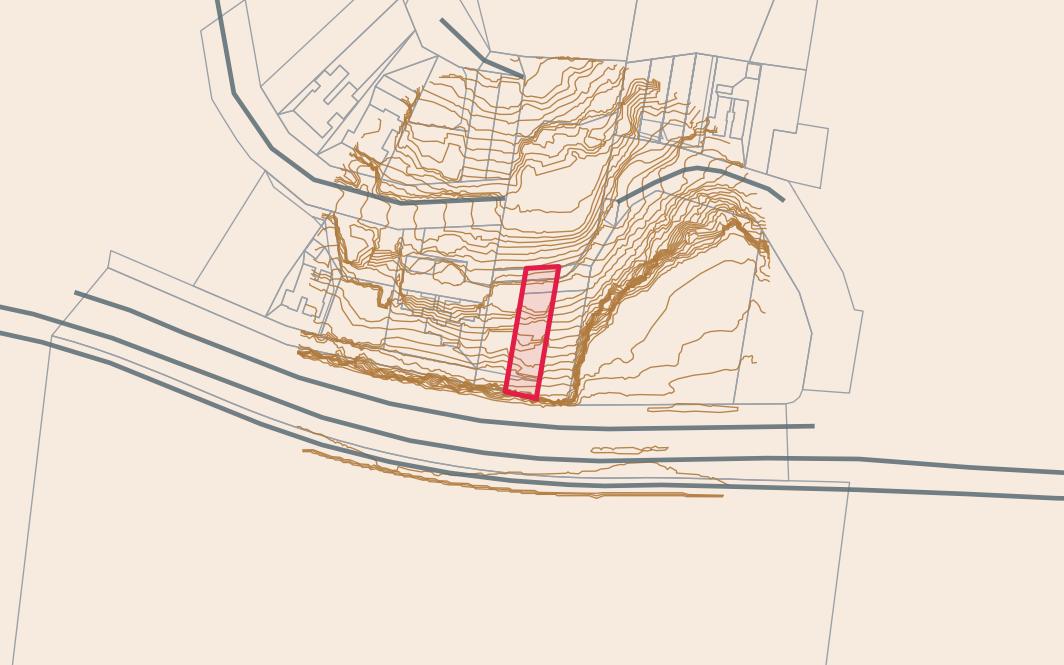
Property Boundary
Cadastral lot boundary polygon with lot/plan identifier. The starting point for any site model.
Contours
Contour lines derived from the best available elevation data, with elevation as Z coordinates in DXF.
Geology
Bedrock geology polygons covering the site area and surrounds.
Soils & Acid Sulphate
Soil classification and acid sulphate soil risk polygons, clipped to the site buffer.
Watercourses & Roads
Mapped waterways and road centrelines within the buffer area.
Elevation Raster & TIN
GeoTIFF elevation raster and triangulated surface (TIN) for 3D Civil 3D or terrain modelling workflows.
Aerial Imagery
Georeferenced aerial imagery (JPG with world file) reprojected to your selected coordinate system. Useful as a basemap in GIS or CAD.
Four GIS and CAD formats, one ZIP download
Pick any combination of DXF, Shapefile, GeoPackage, and KMZ. Your site data is packaged into a single ZIP ready for Civil 3D, QGIS, ArcGIS, Google Earth, and related workflows.
AutoCAD / Civil 3D
Layers organised by dataset. Contours and the property boundary are draped onto the DEM surface for true 3D coordinates.
Shapefile
Industry-standard format for QGIS, ArcGIS, MapInfo and any other GIS platform. One shapefile per layer.
GeoPackage
All layers in a single portable SQLite file - the modern open-standard alternative to Shapefile.
Google Earth
One KMZ file per dataset - open directly in Google Earth Pro or import into ArcGIS and QGIS. Always in WGS84.
Three steps to your GIS Export
Enter a QLD or NSW address
Type any supported Queensland or NSW street address, then choose your datasets, output formats, and coordinate system.
We fetch and clip the site data
We query state government spatial datasets and clip the selected layers to your parcel or site area for a faster GIS Export workflow.
Download your GIS Export ZIP
Your ZIP downloads directly in the browser with the chosen layers and formats, ready for CAD, GIS, desktop study, and due diligence work.
Explore GIS Export use cases for engineers, planners, and due diligence →
Ready to export QLD or NSW site data?
Enter an address, choose your GIS or CAD format, and download a site-data ZIP in minutes.
Export data →