The mapping behind this report, as a GIS or CAD data pack.
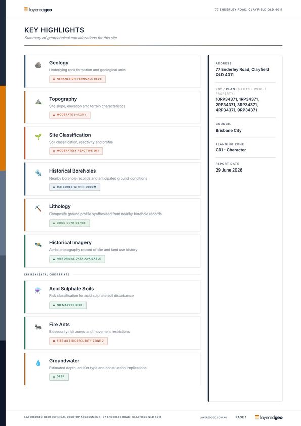
GIS Export clips the same site to a zip of DXF, GeoPackage, Shapefile and KMZ: the geology, soil and acid sulfate polygons, the cadastral boundary, the elevation model as GeoTIFF with a DXF TIN surface, contour lines where the state publishes a contour series, and the flood, bushfire, zoning and heritage layers held for the address. $15 for the site, every available layer included, and the order page lists which layers this address gets before you pay.