2 Wing Street, Ashgrove QLD 4060
A 652 m² lot (30RP48220) in Ashgrove, Brisbane City. Brisbane City has already mapped the flood, bushfire, heritage and zoning controls on this block. Before you inspect or make an offer on this Ashgrove property, the Property Report puts every one of them on a map of this exact lot, in one PDF.
- Council and state government data
- Emailed as a PDF in a few minutes
- Automatic refund if it cannot be built
What the report covers for this address
Each item below is checked against this lot and mapped in the PDF. The findings themselves are in the report.
Flood
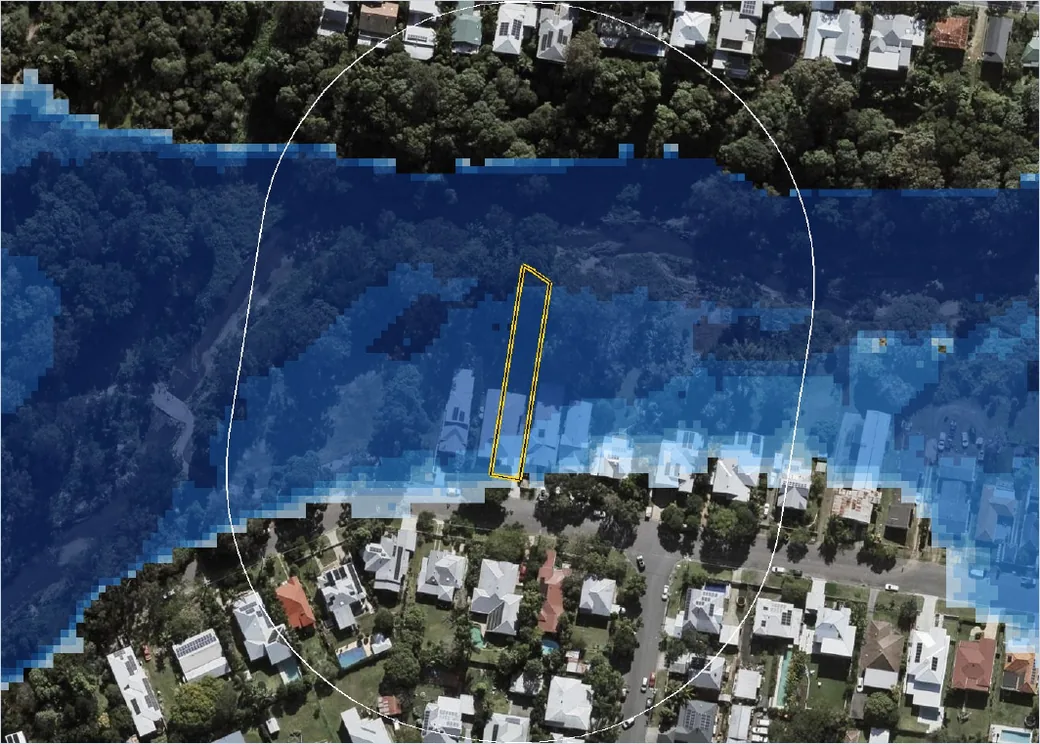
This lot sits inside a council flood study area. The report shows the mapped extents relative to the boundary.
4 published flood studies from Brisbane City Council and Queensland Government (QSpatial) / GHD reach this address, giving 8 modelled figures for the Flood Model Report.
Zoning
The zone is identified, with the height, density and use controls that apply to it. Ashgrove is 31% low density residential and 29% character residential (character) by area; the report gives this lot's zone.
Overlays
Every planning overlay touching the lot, each on its own map: bushfire, heritage, character, environmental, infrastructure and more. Across Ashgrove, 32% of the land sits under a bushfire overlay and 32% under an environmental one; the report says whether this lot does.
Ground
Ground level and the fall of the land around the lot, measured from the state elevation model. Ashgrove runs from 10 m to 54 m above sea level, and 12% of its lots are steep.
Development nearby
2development applications lodged on or beside this lot, the latest a compliance lodged 16 Jul 2015. What they propose and where they are up to.
Services and noise
Water, sewer, stormwater and electricity near the boundary, plus aircraft overflight, road noise and the nearest public transport. Ashgrove has 84 bus stops and no train station. Aircraft were observed over the suburb about 13 times a day at its busiest.
Ashgrove at a glance
How this lot sits in its suburb, from the same council and state data the report is built on. Full Ashgrove profile.
What the pages look like
Pages from a real Property Report. Yours is built for 2 Wing Street Ashgrove QLD with the same maps drawn around this lot.
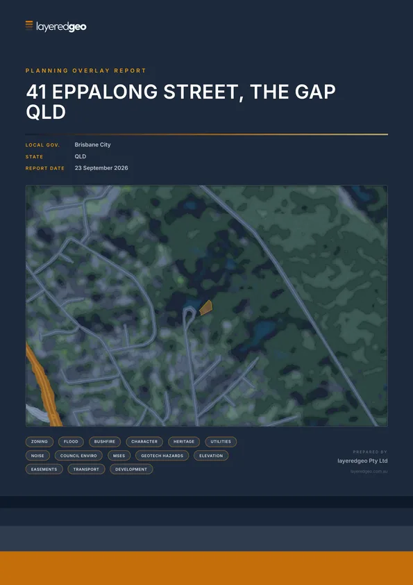
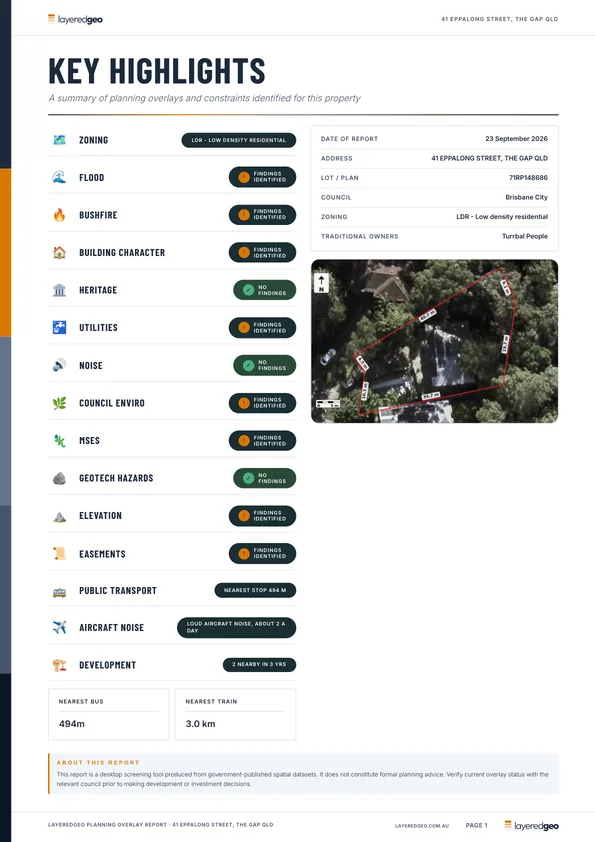
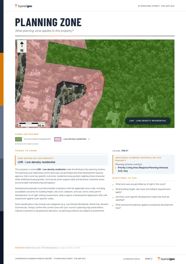
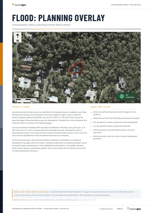
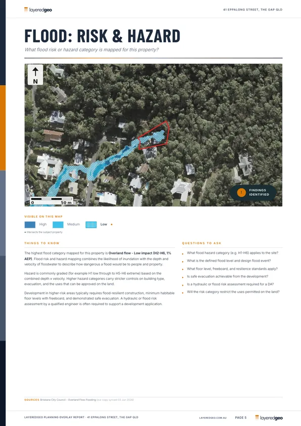
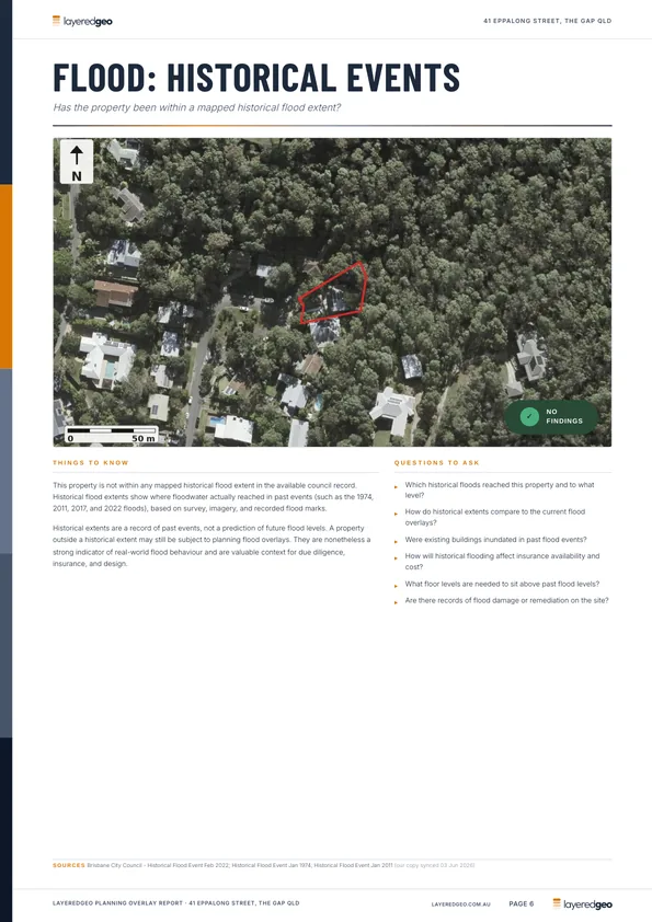
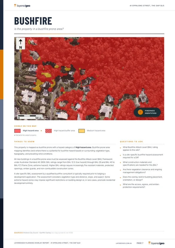
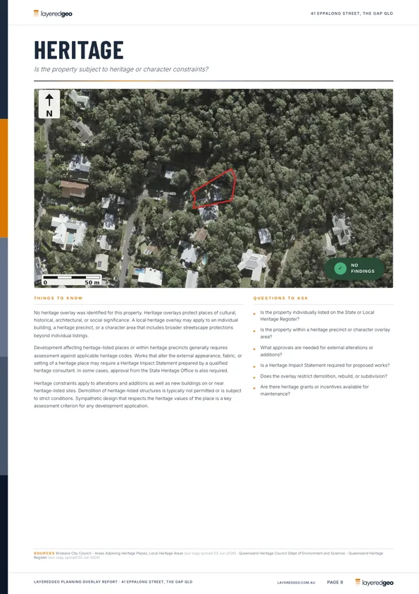
Read the whole sample report before you buy.
Worth adding for this lot
Two reports that go deeper than the overlays, offered here because the mapping says they matter at this address.
How deep does the water get on this block?
A published flood model covers this address. Flood Study - Breakfast Creek, Flood Study - Citywide Overland Flow - Enoggera Sub-Model, Flood Study - Citywide Overland Flow - Inner West Sub-Model and 1 more reach this address. The Flood Model Report reads those grids for this exact lot: the modelled maximum depth, velocity and flood level for every event, each with a map, plus recorded floods against the boundary.
Flood Model Report - $9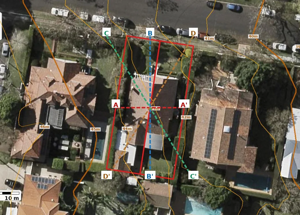
Which way does the block fall, and by how much?
The ground around this address is sloping, enough that the driveway grade, slab or pole construction and any retaining start to matter. The Terrain Report draws the contours of this block, four cross sections through it with the peak grade, and a 3D model of the surrounding landform.
Terrain Report - $9Buying with a conveyancer?
The Pre-Purchase Property Report binds the Property Report, the Flood Model Report where a model covers the lot, and the Terrain Report into one PDF for 2 Wing Street Ashgrove QLD. Choose it at checkout.
More on this suburb: Ashgrove, in Brisbane City. Or open the free interactive overlay map for any address.
Council overlay and state government data at the date of the report; not a substitute for a flood search, survey, title search or geotechnical advice. This page is not a listing and LayeredGeo is not the selling agent. Map tiles © OpenStreetMap contributors.